Your adventure.
Go wander it again.
Turn your GPS track into a cinematic 3D flyover. Pin your photos to the map where you took them. Share your route with a single link.
Backed by the world's open mountain data
Built for the people who go out there.
Relive every step in 3D
Tilt, rotate and fly through your route on a real terrain map. The mountains you climbed, exactly where you climbed them.
Photos that show what you saw
Your photos are pinned to the map at the exact spot and direction they were taken. Viewers see exactly what you saw. Add location notes for viewpoints, hazards, or highlights.
Your watch, automatically
Connect Polar or Suunto and your activities sync straight in. Garmin coming soon. Or drop a GPX file and we handle the rest.
Relive your route in cinematic 3D.
Tilt and rotate the terrain map, then hit play to fly your GPS track over real elevation data. Mountains, valleys, ridge lines, exactly as you walked them. Works for a single afternoon out or a week-long traverse.
- Real terrain heights from open elevation data
- Smooth flyover with speed & angle control
- Photos pinned to the map at the exact spot and direction they were taken
- Export as video in portrait, square or landscape (Pro)
Morning Backcountry Ski
Export
Share as video
Every photo placed where you looked, facing the right way.
ReWander reads the GPS location and camera bearing straight from your photos. Each image is pinned to the map at the exact spot it was taken, pointing in the direction the lens was facing.
- Auto-reads GPS coordinates and camera bearing
- Photo pins on the map face the exact direction you were shooting
- If GPS is missing, it can be placed by image time. Or drag it to the right position and set the direction yourself.
Facing NE · 2 340 m asl
Summit col panorama
Route note
"Icy here in the morning. Bring crampons."
Every peak and hut you cross, named.
ReWander matches your route against worldwide OpenStreetMap data and tags every summit and mountain hut along the way. No tagging by hand.
- Worldwide coverage: Alps, Andes, Himalayas, Rockies
- Hut pages list every route that visits them
- Peak pages collect every route summiting them
- Great for SEO if you run an alpine refuge
Your watch. Synced.
Connect Polar or Suunto and every activity flows straight into your route library. Garmin sync arrives next. Or just drop a GPX file and we'll handle the rest.
- Polar Flow (live)
- Suunto (live)
- Garmin Connect (coming soon)
- GPX upload from any device
Polar
LiveAuto-sync from Polar Flow
Suunto
LiveAuto-sync from Suunto app
Garmin
SoonGarmin Connect sync
GPX upload
Drop a file from any device
Embed your routes on any site.
Drop a one-line iframe onto a hut booking page, tourism board, or your blog. Visitors get a live 3D map. No app install, no account needed.
- Per-route, multi-route, or huts & peaks embed
- Satellite, topo, or outdoor map layers
- 3D terrain or flat 2D, switchable per embed
Start free. Go Pro when you're ready.
Start with everything you need to log, relive and share routes. Upgrade to Pro for cinematic exports and pro-grade map tooling.
Free
Start hereFor everyone who wants to log and share.
- 3D terrain map & flyover playback
- GPX import
- Polar & Suunto auto-sync
- Garmin auto-sync Soon
- Public route pages & profile
- Peak & hut detection
- Up to 6 photos per route
- Export flyover as video
- Invite others to co-edit routes
- Embed routes on your site
- Premium basemaps & terrain analysis
Pro
Available nowFor the people sharing their adventures everywhere.
- Everything in Free
- Export flyovers as video (portrait, square, landscape)
- Export static map images
- Premium basemaps (incl. print B&W style)
- Ski-resort overlay (pistes & lifts)
- Terrain analysis (slope, aspect, steepness)
- Embed your routes on any website
- Attach up to 2 videos per route
- Up to 25 photos per route
- Shared routes, invite others to co-edit
Choose your plan after signing up on your profile.
Questions, answered.
Everything you need to know before you drop your first track.
Yes. The free plan gives you 3D terrain maps and flyover playback, GPX import, Polar and Suunto auto-sync, peak and hut detection, public route pages and up to 6 photos per route. Pro unlocks video export, embeds and more media.
No. You can drop a GPX file from any device and ReWander handles the rest. Connecting a Polar or Suunto watch just means your activities sync automatically. Garmin sync is coming soon.
ReWander drapes your GPS track over real elevation data, so you fly the exact mountains, valleys and ridge lines you walked. Tilt and rotate the terrain, hit play, then export the flyover as a video on Pro.
Every route gets a shareable link. On Pro you can also drop a one line iframe onto a hut booking page, a tourism site or your blog, and visitors get a live 3D map with no account needed.
ReWander matches your route against worldwide OpenStreetMap data and tags every summit and mountain hut you cross, from the Alps to the Andes, Himalayas and Rockies. No tagging by hand.
Pro is 5 euro per month, 50 euro per year, or a one time 149 euro early adopter price. You pick your plan from your profile after signing up, so it costs nothing to get started.
Still curious? Create a free account and try it on your own route.
Real routes. Real people.
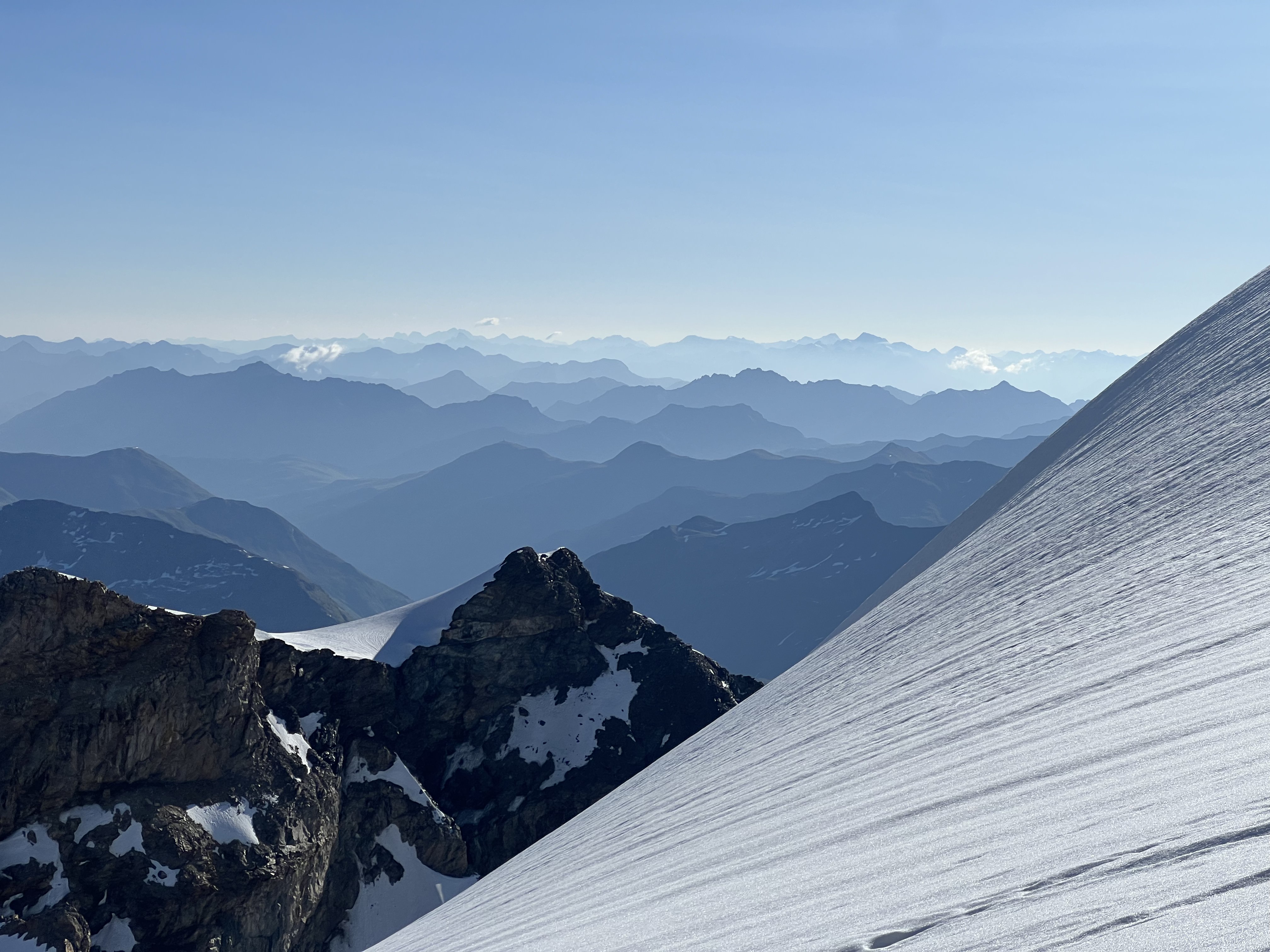
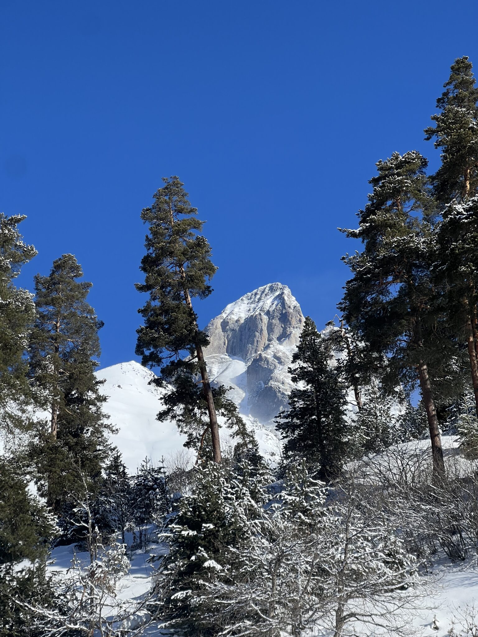
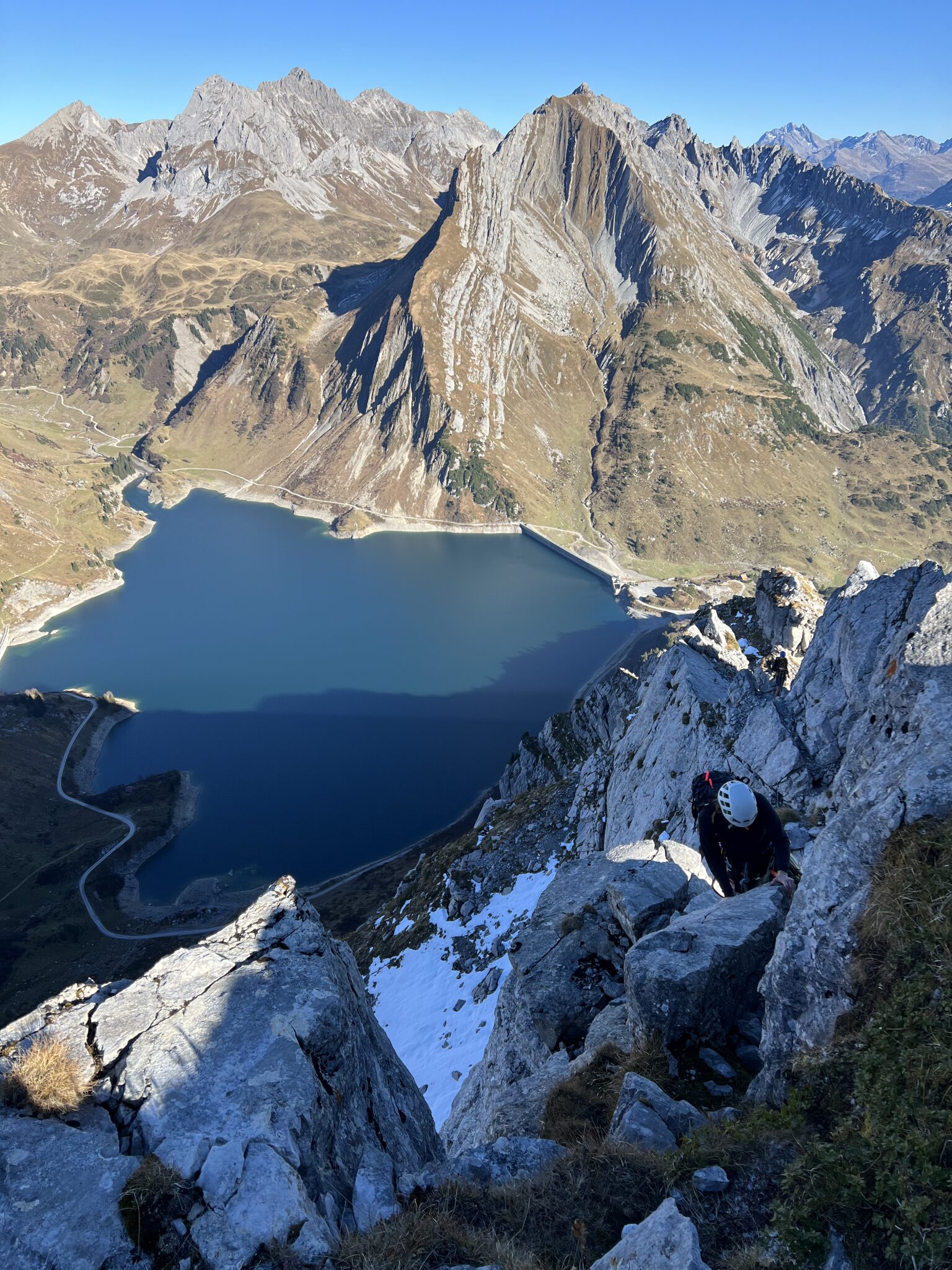
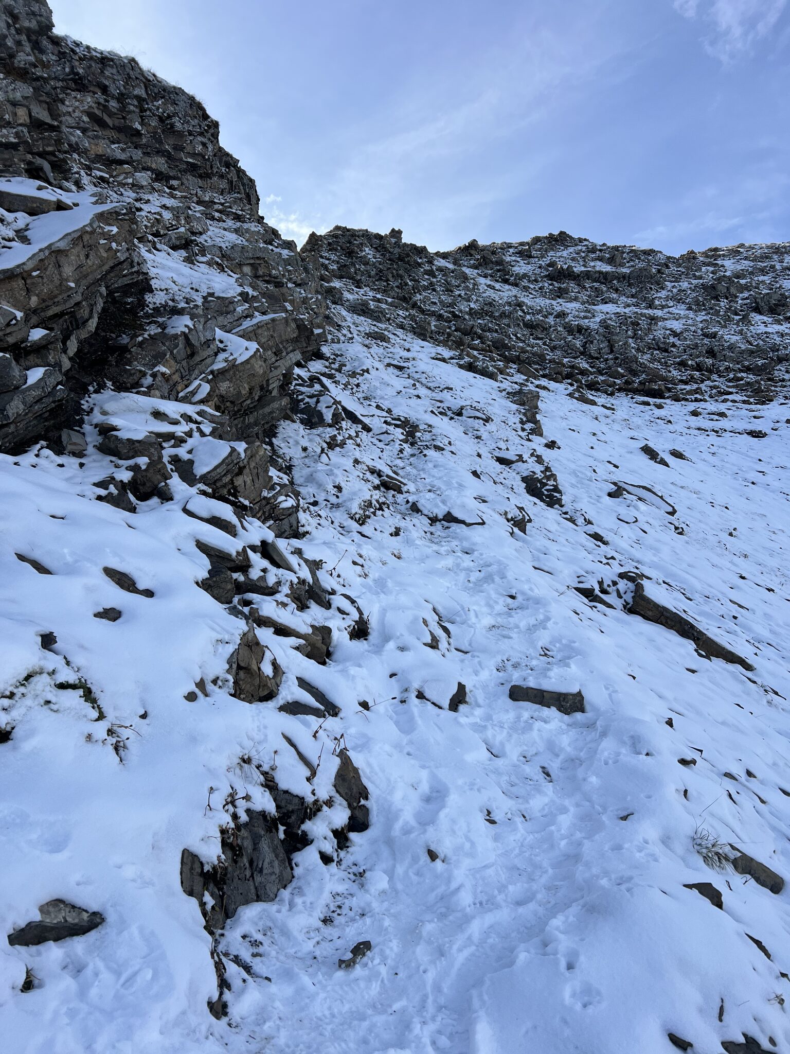
Hikers, skiers, runners and riders are using ReWander to tell the story of their day in the mountains.
Your next adventure,
told properly.
Sign up in less than a minute. Drop your first GPX and watch the terrain come to life.
Create your free accountFree to start · No credit card · Pro waitlist opens in your account